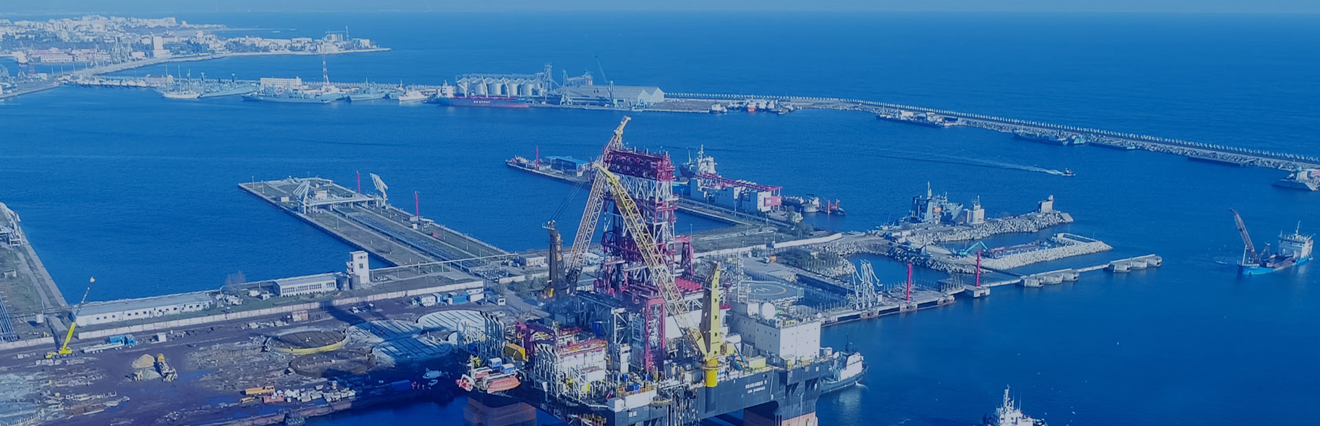
Drilling tracking is real-time interactive service that closely integrates geology, geophysics, logging while drilling, mud logging, petroleum engineering, rock mechanics during drilling operation. It is applied to the real-time operation of exploration and development wells. The objective is to optimize drilling operation parameters, accurately predict formation pressure in front of bit, depth of target, lithology and fluid properties, reduce risk for the drilling engineering, maximize the success rate of exploration wells and investment income.
Geological and engineering risk analysis before drilling
Based on drilling plan, understand the drilling geological objectives, investigate various complex geological and engineering risks that the designed well may encounter during drilling.
Pre-drill depth migration imaging and prediction
Prior drilling, 3D seismic data in working area shall be processed with resolution enhancement and high-precision depth migration imaging. Using compressive sensing technology to enhance high-frequency effective component energy of seismic signal, broaden the effective information frequency band, and improve the vertical resolution of seismic data.
Pre-drilling velocity and pressure modeling
Based on 3D seismic data, mud log, well testing, logging, borehole trajectory, target point of adjacent wells, tegather with geophysical and geological analysis results, seismic velocity, VSP, geological & seismic horizons and other information, the initial velocity model is established by geostatistical method (Figure 4).
Pre-drill weak interval early warning
Analyzing the response of abnormal pressure and weak layer on logging data, create the identification mark of logging data such as whole-rock mineral and clay mineral composition; Studying the response of abnormal pressure and weak layer on seismic velocity, density, and impedance data
Depth imaging, velocity and pressure model updating while drilling
Based on mud log, LWD, and drilling engineering data acquired during drilling operation, the migration velocity model is updated in time, and depth migration imaging processing will be carried out, real-time formation correlation and pressure model correction are also conducted.
Weak interval early warning update while drilling
Carrying out high-resolution and inversion update processing based on latest migration imaging data, conduct key horizon interpretation on the new 3D model.


copyright © 2022 Geotarget Research . ALL RIGHTS RESERVED 京ICP备2022033278号-1

 CN
CN
